Excel Heat Maps
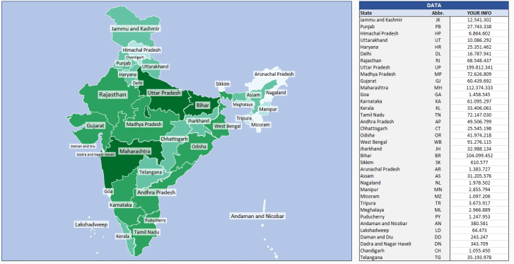
Geographic visualization with Excel Heat Map Templates. Input your data and create heat maps with a button click. No installation needed.
Ready-to-use spreadsheet templates. Sleek-design tools with dynamic dashboards. Instant download files in Excel and Google Sheets.
Ready-to-use spreadsheets for Geographic Heat Maps
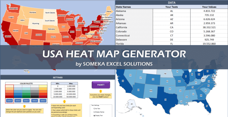
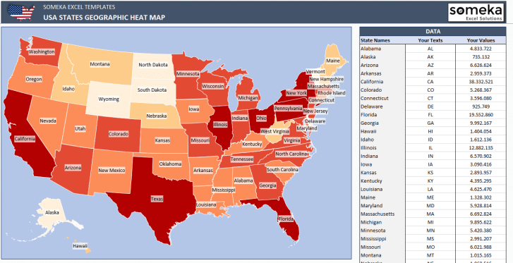
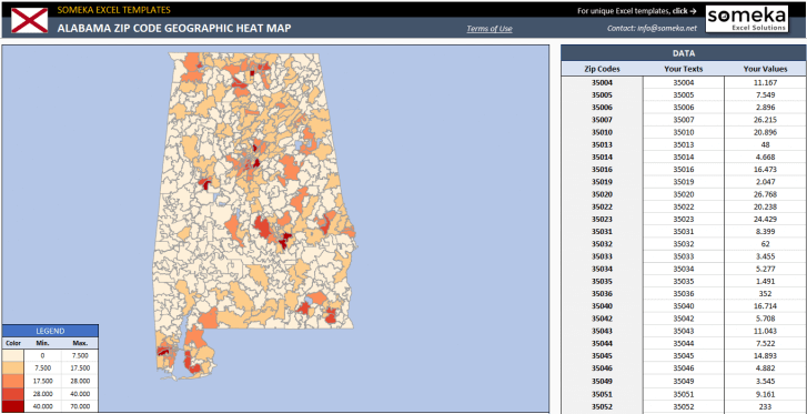
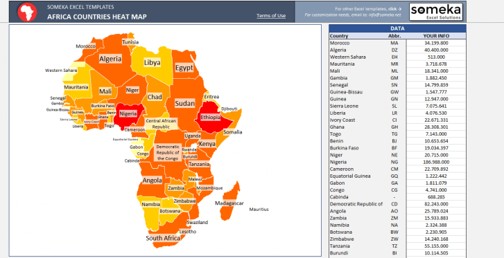
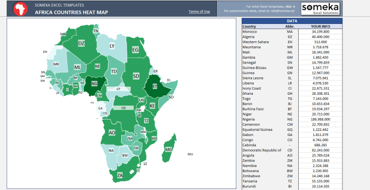
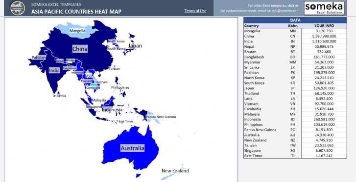
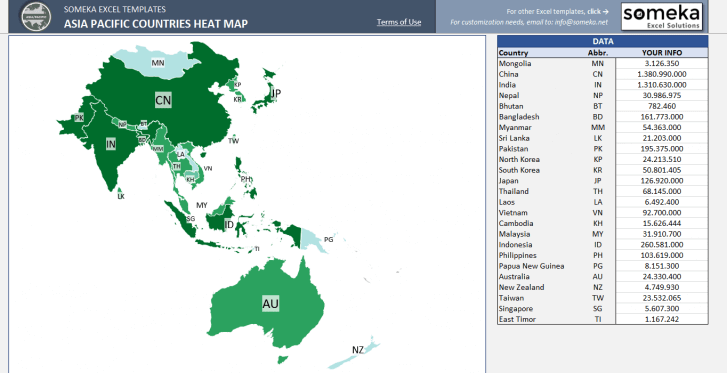
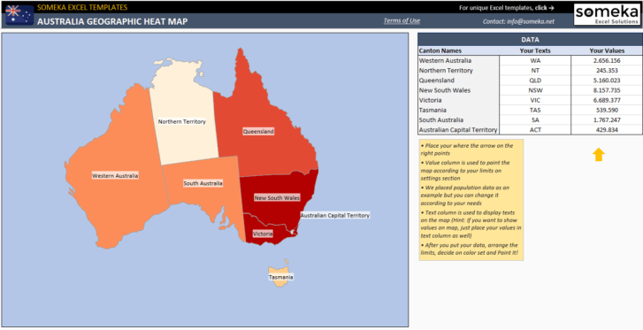
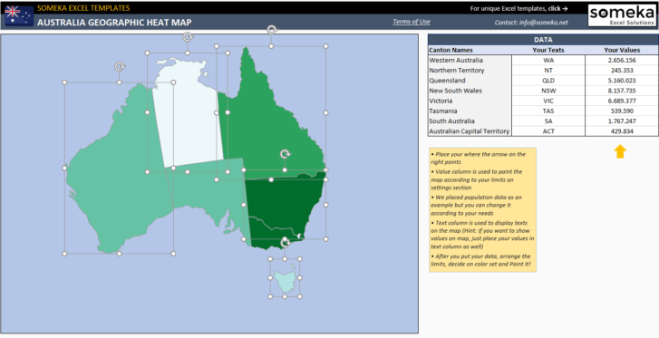
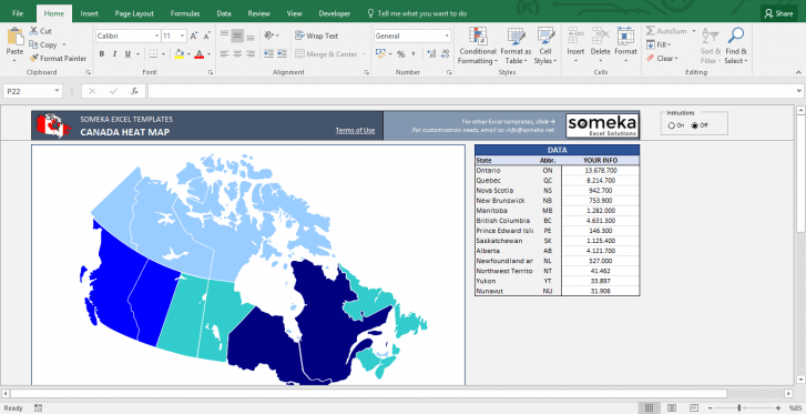
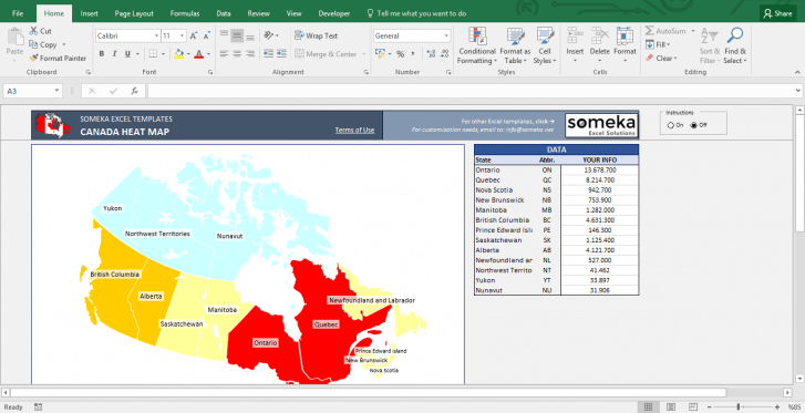
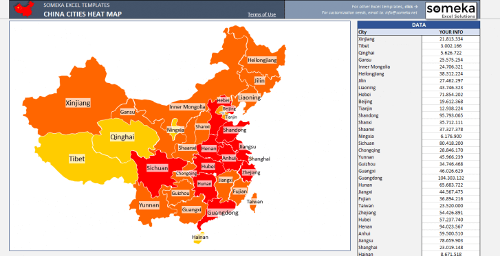
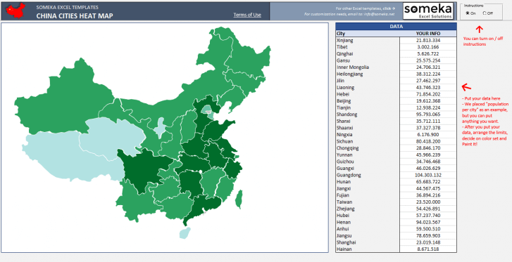
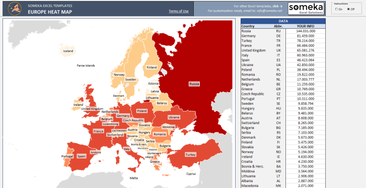
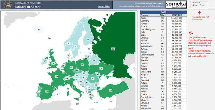
Someka Excel Heat Map templates are special tools to visualize your data in a geographical map. Any academic or business data such as sales, expenses, population, birth rates etc. will be presented in colored maps with a single click!
All our Excel heat maps consist of a setting section, where you can adjust your geographic template according to your own needs. No need for any extra software. They all work in Excel.
No more complicated lists. Now present your data with unique mapping tools!
For who?
Any kind of data may be visualized in these choropleths. So everyone from all over the world may use these templates.
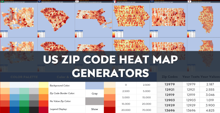
In addition to world map, you can also find country-based regional maps for Africa, Europe, Latin America as well as city-based or state-based maps for US, Australia, Canada, China, India, UK, and much more. Moreover, we have special US Zip Code and US County Heat Map templates for American analysts.
Benefits
- Customizable heat maps
- Export to pdf feature
- Easy-to-use
- Professional data visualization for your slides
- Suitable for both Mac and Windows
- No installation needed
