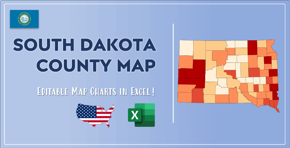

The US state South Dakota (SD) is the 46th largest state by population and 17th biggest state by area. South Dakota has 66 counties ranking it the 23rd state with the most counties in USA. See below some basic information about the state:
| Country: | United States |
| State: | South Dakota |
| Abbreviation: | SD |
| Capital: | Pierre |
| Largest City: | Sioux Falls |
| Population: | 884,659 |
| Population rank in US: | 46th |
| Total Area [mi²]: | 77,116 |
| Total Area [km²]: | 199,729 |
| Area rank in US: | 17th |
| Number of Counties: | 66 |
If you want to show data distributon per geographical area, density maps (or heat maps) are a great way to achieve this. For example, here is a South Dakota Population Density Map per County:
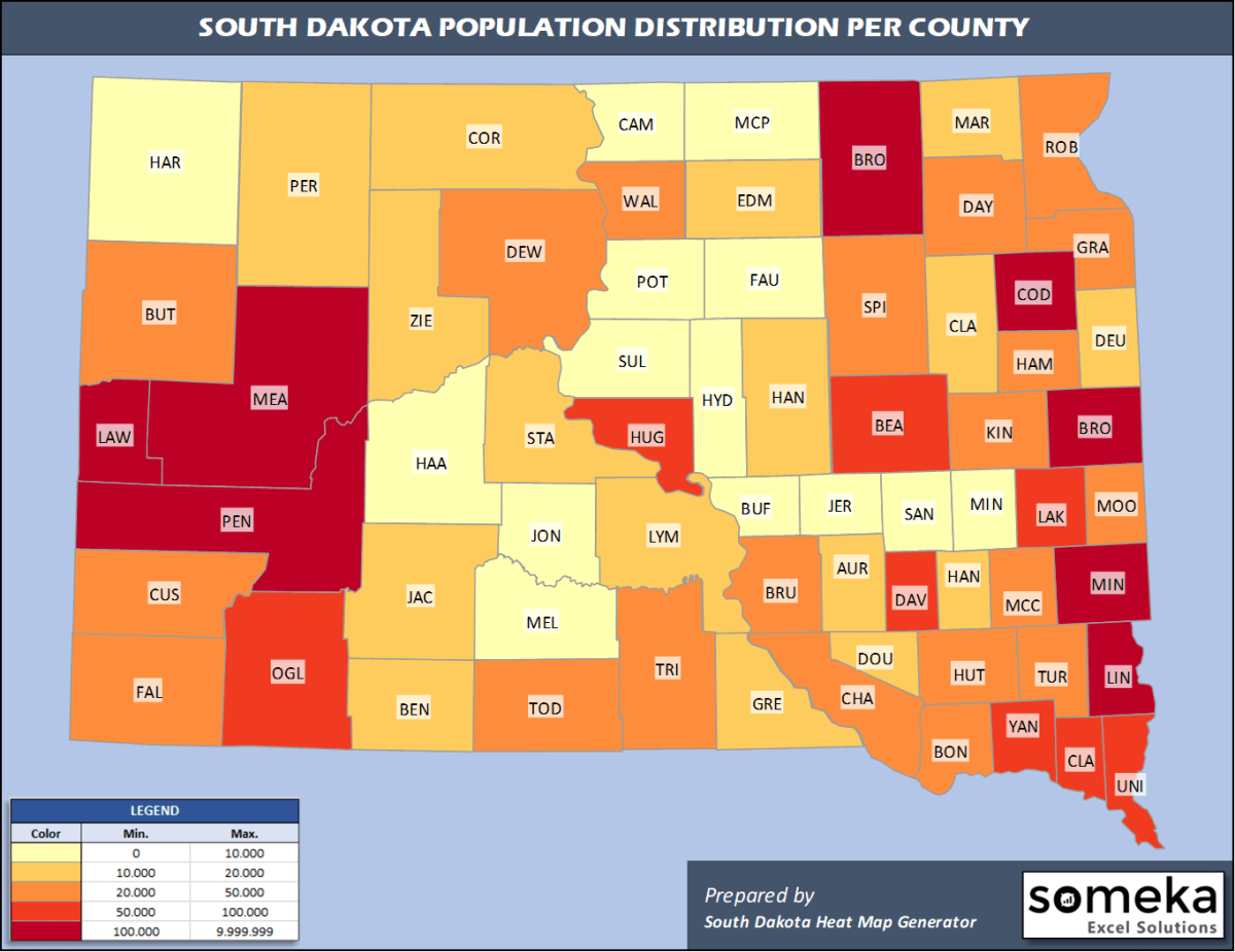
We have prepared this easily with South Dakota County Heat Map Generator for population info. But it can also be used for many different data types such as employment rate, average temperature, racial distribution and so on.
Below are 66 South Dakota counties ranked by population information. The data is from the US Census Bureau. You can copy and paste this list directly into your spreadsheet.
(Top 10 counties shown. To expand the list, simply click on the “show more” button)
| Rank | County | Population |
|---|---|---|
| 1 | Minnehaha County | 193,134 |
| 2 | Pennington County | 113,775 |
| 3 | Lincoln County | 61,128 |
| 4 | Brown County | 38,839 |
| 5 | Brookings County | 35,077 |
| 6 | Meade County | 28,332 |
| 7 | Codington County | 28,009 |
| 8 | Lawrence County | 25,844 |
| 9 | Yankton County | 22,814 |
| 10 | Davison County | 19,775 |
| 11 | Beadle County | 18,453 |
| 12 | Hughes County | 17,526 |
| 13 | Union County | 15,932 |
| 14 | Oglala Lakota County | 14,177 |
| 15 | Clay County | 14,070 |
| 16 | Lake County | 12,797 |
| 17 | Butte County | 10,429 |
| 18 | Roberts County | 10,394 |
| 19 | Todd County | 10,177 |
| 20 | Charles Mix County | 9,292 |
| 21 | Custer County | 8,972 |
| 22 | Turner County | 8,384 |
| 23 | Hutchinson County | 7,291 |
| 24 | Grant County | 7,052 |
| 25 | Bon Homme County | 6,901 |
| 26 | Fall River County | 6,713 |
| 27 | Moody County | 6,576 |
| 28 | Spink County | 6,376 |
| 29 | Hamlin County | 6,164 |
| 30 | Dewey County | 5,892 |
| 31 | McCook County | 5,586 |
| 32 | Tripp County | 5,441 |
| 33 | Walworth County | 5,435 |
| 34 | Day County | 5,424 |
| 35 | Brule County | 5,297 |
| 36 | Kingsbury County | 4,939 |
| 37 | Marshall County | 4,935 |
| 38 | Deuel County | 4,351 |
| 39 | Gregory County | 4,185 |
| 40 | Corson County | 4,086 |
| 41 | Edmunds County | 3,829 |
| 42 | Lyman County | 3,781 |
| 43 | Clark County | 3,736 |
| 44 | Hanson County | 3,453 |
| 45 | Bennett County | 3,365 |
| 46 | Jackson County | 3,344 |
| 47 | Hand County | 3,191 |
| 48 | Stanley County | 3,098 |
| 49 | Douglas County | 2,921 |
| 50 | Perkins County | 2,865 |
| 51 | Ziebach County | 2,756 |
| 52 | Aurora County | 2,751 |
| 53 | McPherson County | 2,379 |
| 54 | Sanborn County | 2,344 |
| 55 | Faulk County | 2,299 |
| 56 | Miner County | 2,216 |
| 57 | Potter County | 2,153 |
| 58 | Mellette County | 2,061 |
| 59 | Jerauld County | 2,013 |
| 60 | Buffalo County | 1,962 |
| 61 | Haakon County | 1,899 |
| 62 | Sully County | 1,391 |
| 63 | Campbell County | 1,376 |
| 64 | Hyde County | 1,301 |
| 65 | Harding County | 1,298 |
| 66 | Jones County | 903 |
Out of the 66 counties in South Dakota, Minnehaha County is the largest by population. Meade County is the largest by land area.
Jones County is the smallest South Dakota county by population. Clay County is the smallest by size.
In terms of economics and average income level, Union County is the richest South Dakota county.
Oglala Lakota County is the poorest South Dakota county.
We have prepared South Dakota county density map by population as a downloadable PDF.
You can download the PDF for free from the link below:

South Dakota County Density Map PDF
Check the video below to see how we use our South Dakota County Map Excel Template to visualize any data over South Dakota counties.
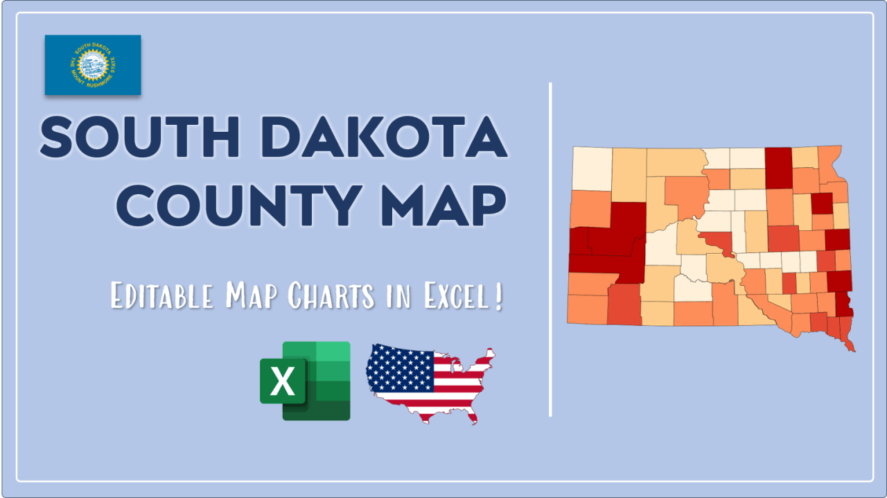
We have built the easiest South Dakota Heat Map Maker in the universe! It works fully in Excel:
Here is a list of useful links which we think can be helpful whether you work on data visualization or make research about South Dakota state and South Dakota counties.
Data Source for Population and many other US related data:
https://www.census.gov
Wikipedia Page for List of South Dakota Counties:
https://en.wikipedia.org/wiki/List_of_counties_in_South_Dakota
Official Website of the State of South Dakota:
https://sd.gov/
Are you looking for South Dakota Zip Code map?:
South Dakota Zip Code Heat Map Generator in Excel

