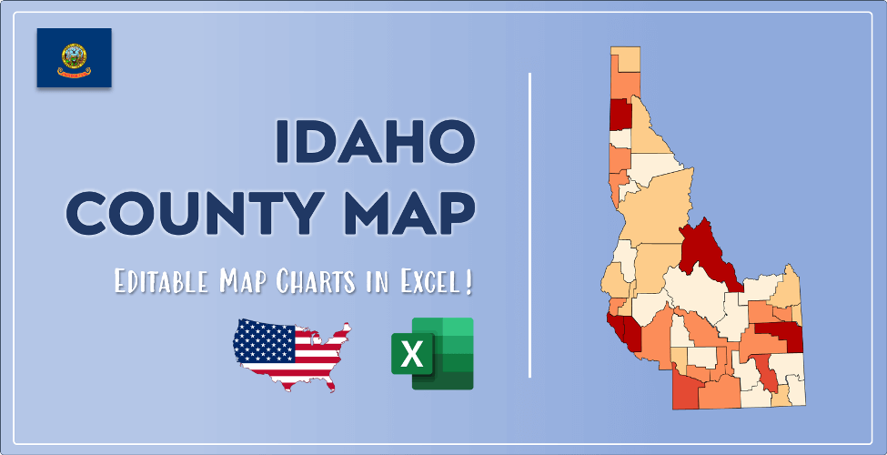

The US state Idaho (ID) is the 39th largest state by population and 14th biggest state by area. Idaho has 44 counties ranking it the 32nd state with the most counties in USA. See below some basic information about the state:
| Country: | United States |
| State: | Idaho |
| Abbreviation: | ID |
| Capital: | Boise |
| Largest City: | Boise |
| Population: | 1,787,065 |
| Population rank in US: | 39th |
| Total Area [mi²]: | 83,569 |
| Total Area [km²]: | 216,443 |
| Area rank in US: | 14th |
| Number of Counties: | 44 |
If you want to show data distributon per geographical area, density maps (or heat maps) are a great way to achieve this. For example, here is a Idaho Population Density Map per County:
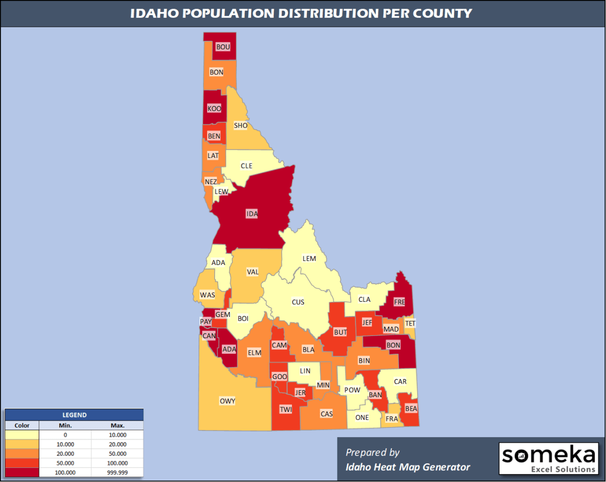
We have prepared this easily with Idaho County Heat Map Generator for population info. But it can also be used for many different data types such as employment rate, average temperature, racial distribution and so on.
Below are 44 Idaho counties ranked by population information. The data is from the US Census Bureau. You can copy and paste this list directly into your spreadsheet.
(Top 10 counties shown. To expand the list, simply click on the “show more” button)
| Rank | County | Population |
|---|---|---|
| 1 | Ada County | 481,587 |
| 2 | Canyon County | 229,849 |
| 3 | Kootenai County | 165,697 |
| 4 | Bonneville County | 119,062 |
| 5 | Bannock County | 87,808 |
| 6 | Twin Falls County | 86,878 |
| 7 | Bingham County | 46,811 |
| 8 | Bonner County | 45,739 |
| 9 | Nez Perce County | 40,408 |
| 10 | Latah County | 40,108 |
| 11 | Madison County | 39,907 |
| 12 | Jefferson County | 29,871 |
| 13 | Elmore County | 27,511 |
| 14 | Jerome County | 24,412 |
| 15 | Cassia County | 24,030 |
| 16 | Payette County | 23,951 |
| 17 | Blaine County | 23,021 |
| 18 | Minidoka County | 21,039 |
| 19 | Gem County | 18,112 |
| 20 | Idaho County | 16,667 |
| 21 | Gooding County | 15,179 |
| 22 | Franklin County | 13,876 |
| 23 | Fremont County | 13,099 |
| 24 | Shoshone County | 12,882 |
| 25 | Boundary County | 12,245 |
| 26 | Teton County | 12,142 |
| 27 | Owyhee County | 11,823 |
| 28 | Valley County | 11,392 |
| 29 | Washington County | 10,194 |
| 30 | Benewah County | 9,298 |
| 31 | Clearwater County | 8,756 |
| 32 | Lemhi County | 8,027 |
| 33 | Boise County | 7,831 |
| 34 | Power County | 7,681 |
| 35 | Caribou County | 7,155 |
| 36 | Bear Lake County | 6,125 |
| 37 | Lincoln County | 5,366 |
| 38 | Oneida County | 4,531 |
| 39 | Custer County | 4,315 |
| 40 | Adams County | 4,294 |
| 41 | Lewis County | 3,838 |
| 42 | Butte County | 2,597 |
| 43 | Camas County | 1,106 |
| 44 | Clark County | 845 |
Out of the 44 counties in Idaho, Ada County is the largest by population. Idaho County is the largest by land area.
Clark County is the smallest Idaho county by population. Payette County is the smallest by size.
In terms of economics and average income level, Blaine County is the richest Idaho county.
Madison County is the poorest Idaho county.
We have prepared Idaho county density map by population as a downloadable PDF.
You can download the PDF for free from the link below:

Idaho County Density Map PDF
Check the video below to see how we use our Idaho County Map Excel Template to visualize any data over Idaho counties.
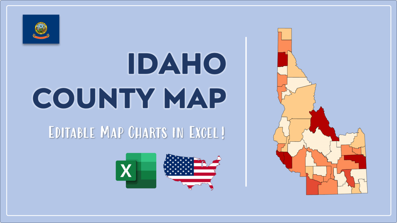
We have built the easiest Idaho Heat Map Maker in the universe! It works fully in Excel:
Here is a list of useful links which we think can be helpful whether you work on data visualization or make research about Idaho state and Idaho counties.
Data Source for Population and many other US related data:
https://www.census.gov
Wikipedia Page for List of Idaho Counties:
https://en.wikipedia.org/wiki/List_of_counties_in_Idaho
Official Website of the State of Idaho:
https://www.idaho.gov
Are you looking for Idaho Zip Code map?:
Idaho Zip Code Heat Map Generator in Excel

